


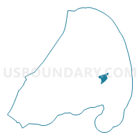
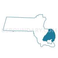
Brewster Precinct 2, Barnstable County, Massachusetts
About
Outline

Summary
| Unique Area Identifier | 593600 |
| Name | Brewster Precinct 2 |
| County | Barnstable County |
| State | Massachusetts |
| Area (square miles) | 5.97 |
| Land Area (square miles) | 5.67 |
| Water Area (square miles) | 0.30 |
| % of Land Area | 95.00 |
| % of Water Area | 5.00 |
| Latitude of the Internal Point | 41.75773700 |
| Longtitude of the Internal Point | -70.05843750 |
Maps

Graphs
Select a template below for downloading or customizing gragh for Brewster Precinct 2, Barnstable County, Massachusetts


Neighbors
Neighoring Voting District (by Name) Neighboring Voting District on the Map
- Brewster Precinct 1, Barnstable County, MA
- Brewster Precinct 3, Barnstable County, MA
- Voting Districts not defined, Barnstable County, MA
Top 10 Neighboring County Subdivision (by Population) Neighboring County Subdivision on the Map
- Brewster town, Barnstable County, MA (9,820)
- County subdivisions not defined, Barnstable County, MA (0)